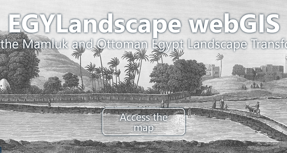
21.08.2024 Dive into the Mamluk and Ottoman Egypt Landscape
Transformations EGYLandscape webGIS - online

The EGYLandscape project, co-funded by the French Agence Nationale de la Recherche (ANR) and the German Deutsche Forschungsgemeinschaft (DFG) from 2019 to 2023, aims at exploring the land and landscape transformations of Mamluk and Ottoman Egypt (13th to 18th centuries).
A core outcome of the EGYLandscape Project is the historical webGIS presented on this platform, allowing an exploration of rural Egypt in pre-modern times. This webGIS combines textual sources, from the late medieval (13th to 15th centuries) and modern (19th to mid-20th century) periods, with cartographic resources available for the last two centuries to georeference the gathered textual information on a map.
Kontakt
Prof. Dr. Albrecht Fuess